Gallery
The work, photographed.
Survey crews before the rig arrives, drilling sites through the day, laboratories, solar systems and the communities that depend on the result. Select any photograph to view it larger.
Field photography
Everything a borehole project involves.
Grouped by the stage of work they belong to. Every image is licensed for reuse and credited below.
Survey before drilling
Resistivity profiling and site reconnaissance set the target depth.
Drilling & logging
Every metre, formation and water strike recorded in the borehole log.
Tested yield
Step and constant-rate tests establish safe yield before equipment is chosen.
Documented handover
Logs, yield reports and water quality results in one pack.
Fig. 01
On site
The rig, the crew and the logistics. This is what a borehole site looks like from survey mobilisation to completion.
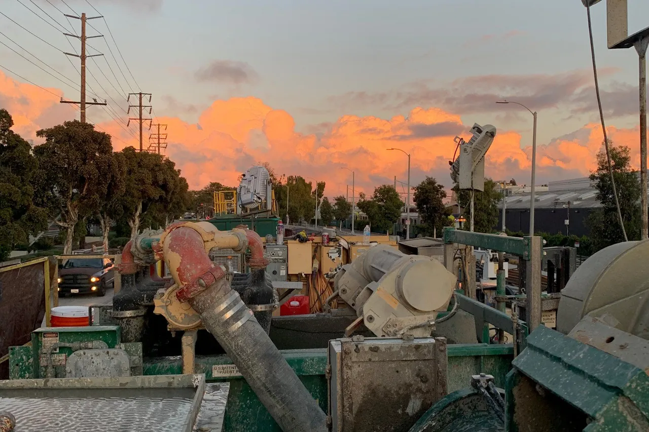
A drilling site at dusk — the mud tank and shaker unit separating cuttings from the drilling fluid.
Nicole Fenton, USGS — Public Domain
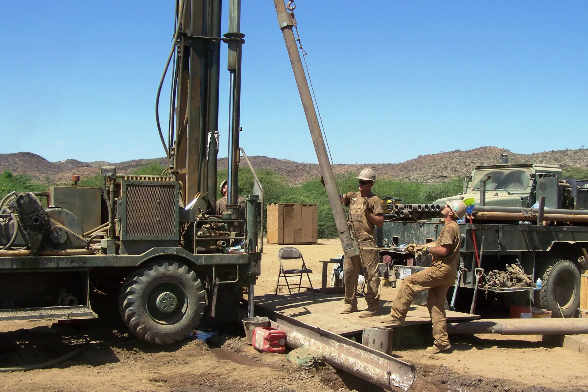
A rotary rig and its crew working an open savanna site.
U.S. Navy — Public Domain
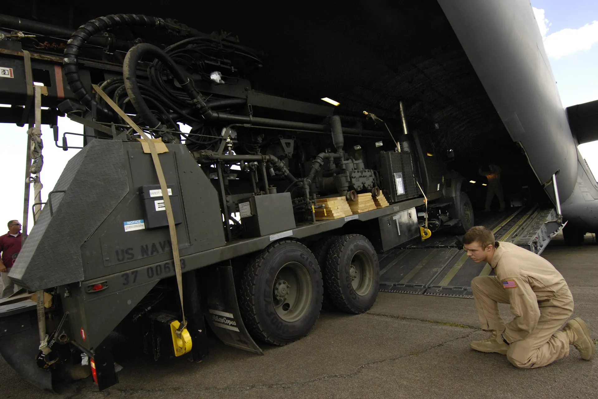
A truck-mounted rig deployed on a dry site — mobilisation is planned before the rig moves.
U.S. Air Force — Public Domain
Fig. 02
Survey & drilling
We look for water before we drill for it. The survey sets the target depth, and the rig is then mobilised to that target.
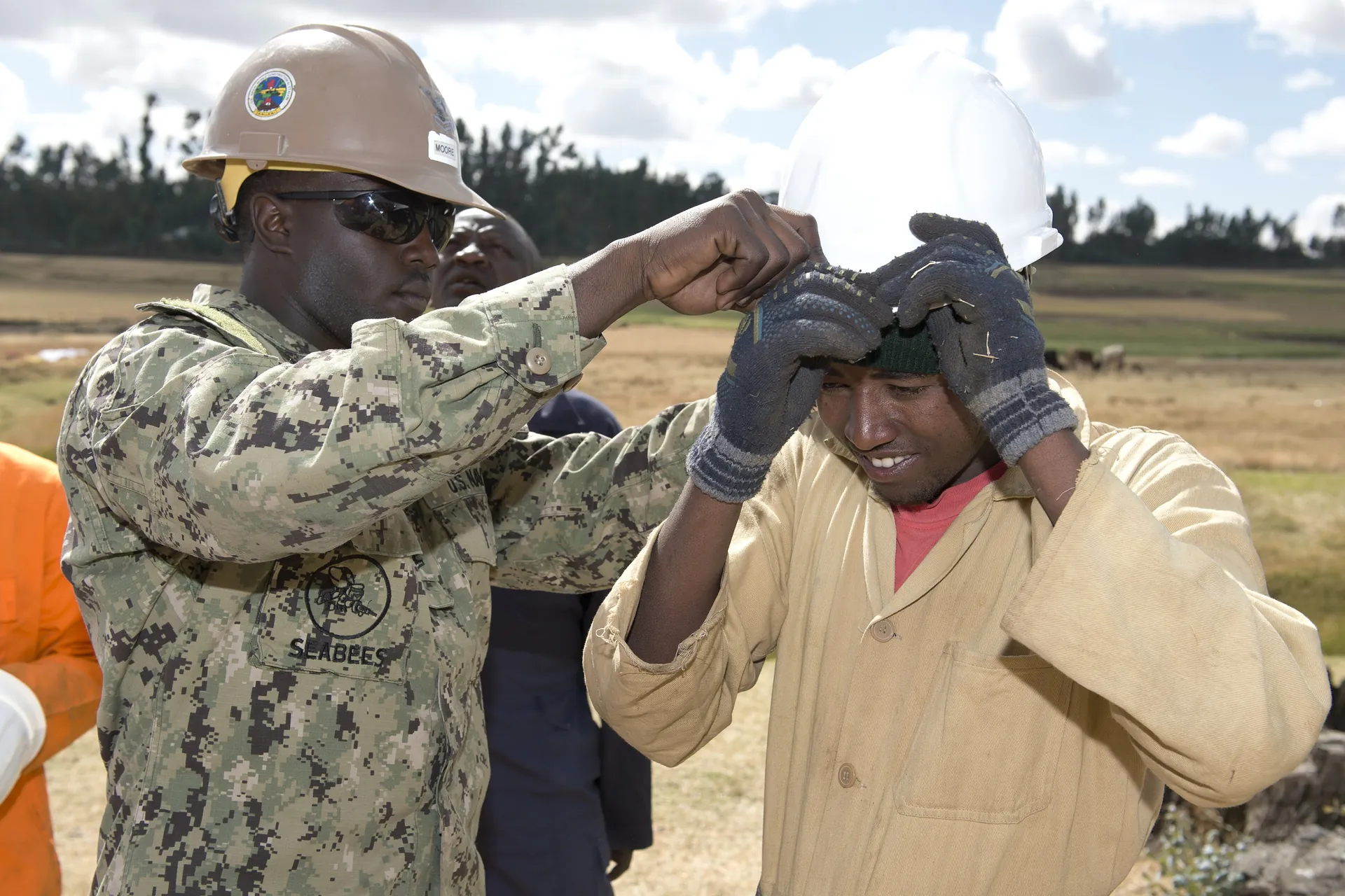
Engineers taking survey readings before drilling begins.
U.S. Air Force — Public Domain
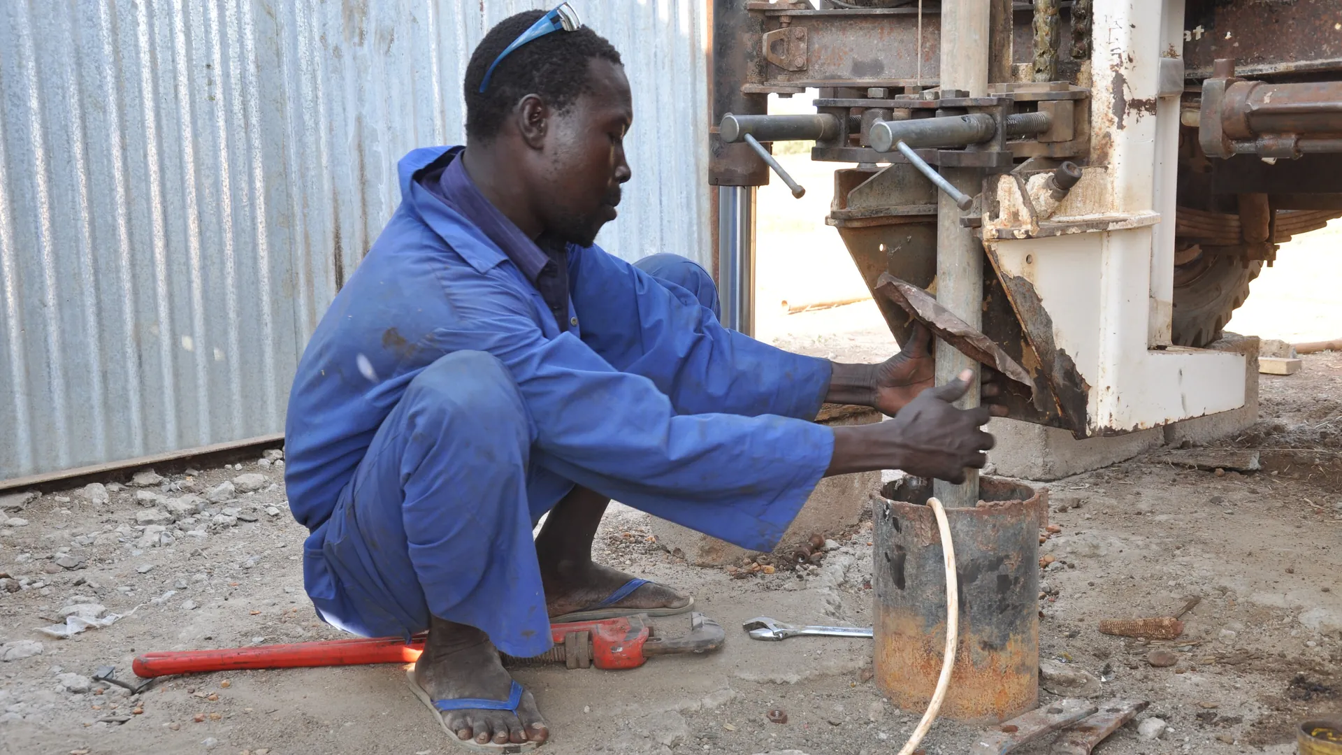
Driller at the rig control panel — depth, formation and water strikes are logged as they happen.
Oxfam East Africa — CC BY 2.0
Fig. 03
Pumping & solar
Pumps sized against measured yield, solar arrays sized against measured draw, and storage sized against peak demand.
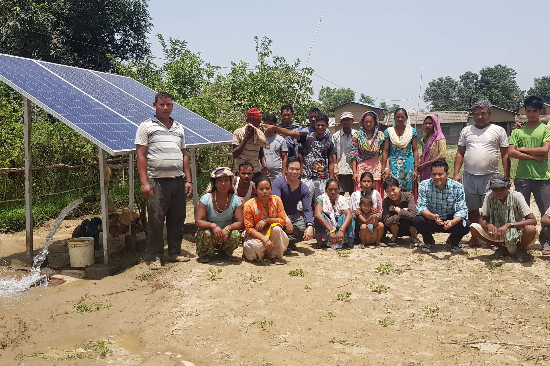
A community solar pumping system in use — no fuel, no grid and no interruption.
Prabuddha Raj — CC BY-SA 4.0
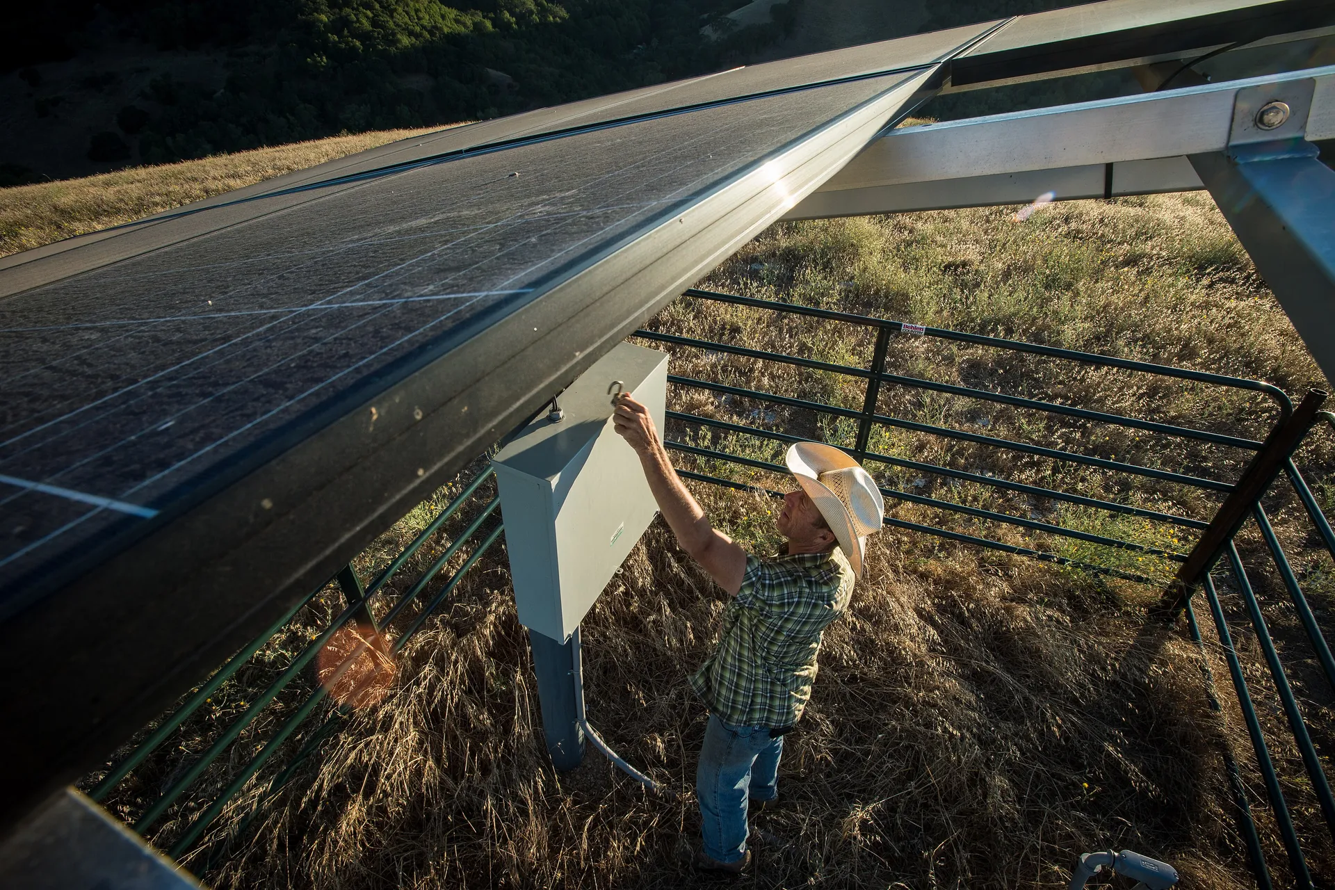
A photovoltaic array mounted over the pumping set.
USDA — Public Domain
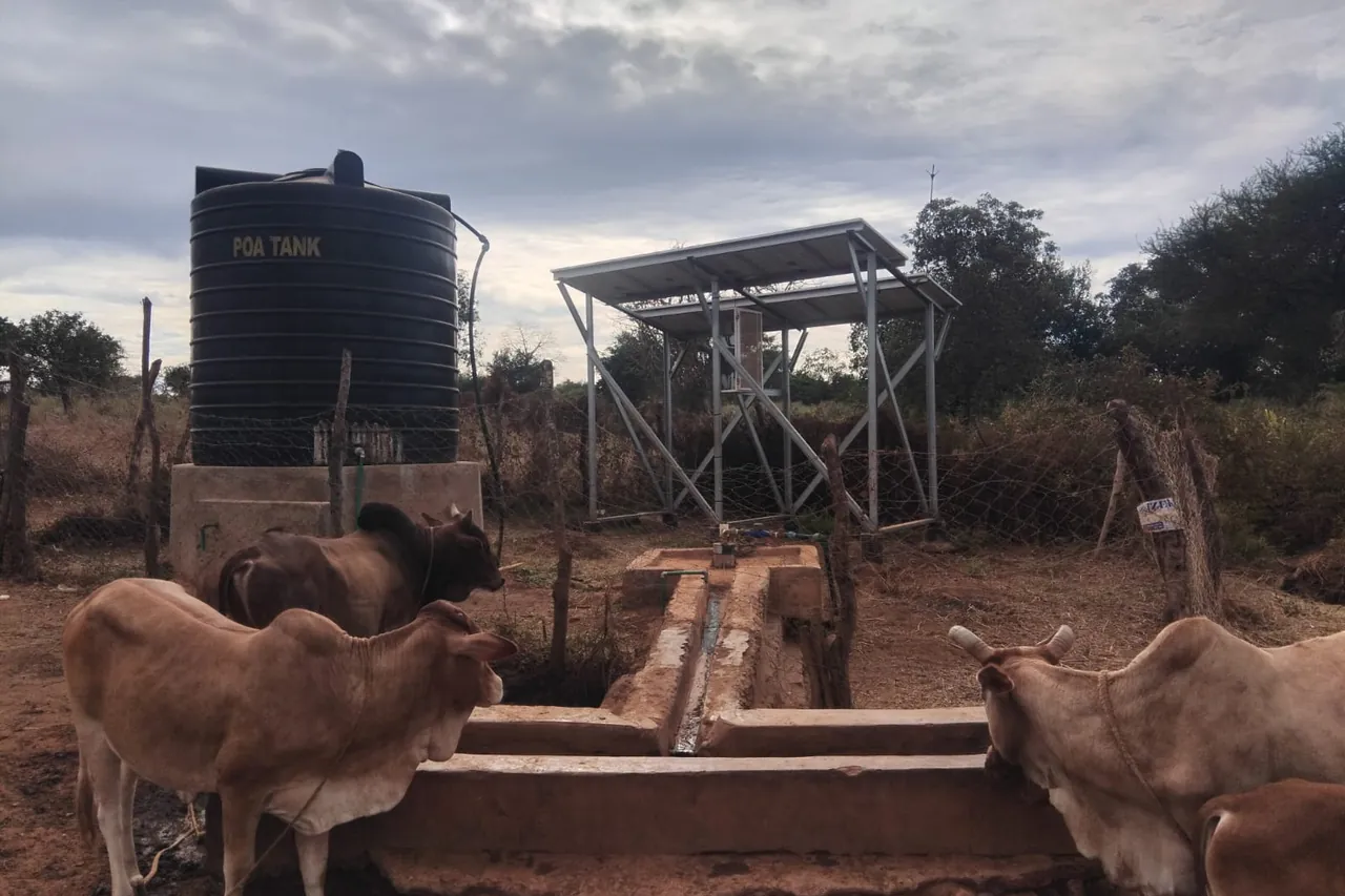
A solar-powered borehole serving a livestock watering point.
Nzili — CC BY-SA 4.0
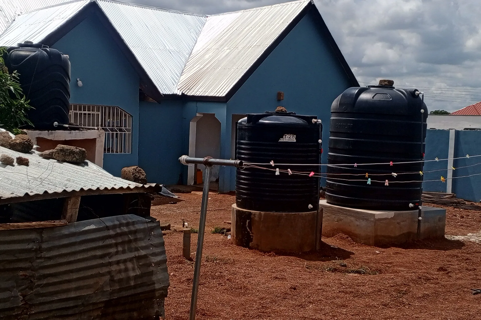
Polyethylene storage tanks on steel stands, sized against peak demand.
Nimatu15 — CC BY-SA 4.0
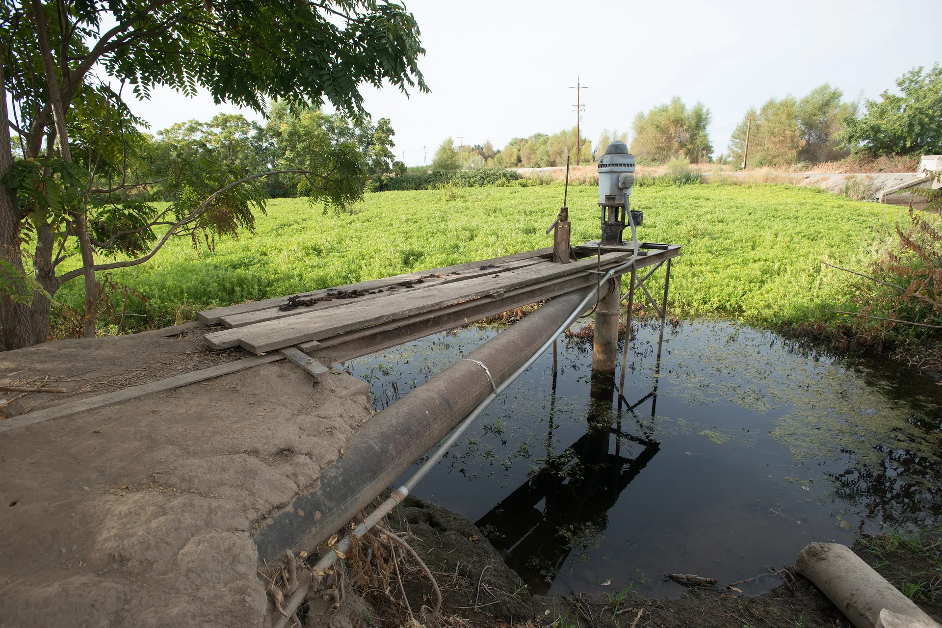
A centre pivot drawing on groundwater from a borehole.
USDA — Public Domain
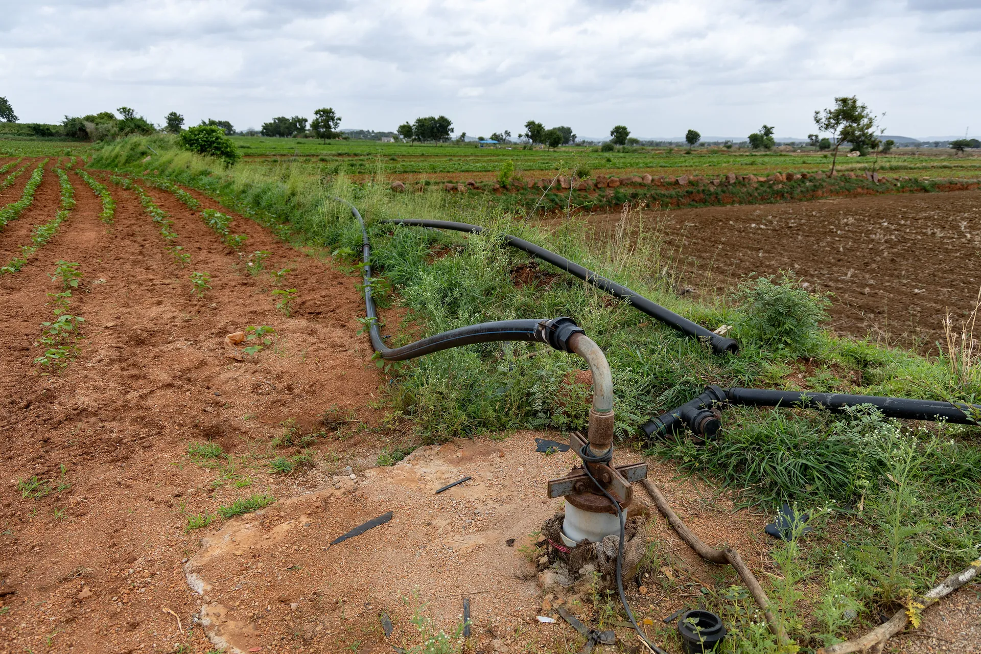
Drip lines fed by a borehole pump, applying water at the root zone.
Vraj Acharya, WELL Labs — CC BY-SA 4.0
Fig. 04
Water quality
Every borehole is sampled and analysed, and the result is interpreted and handed over with the completion documentation.
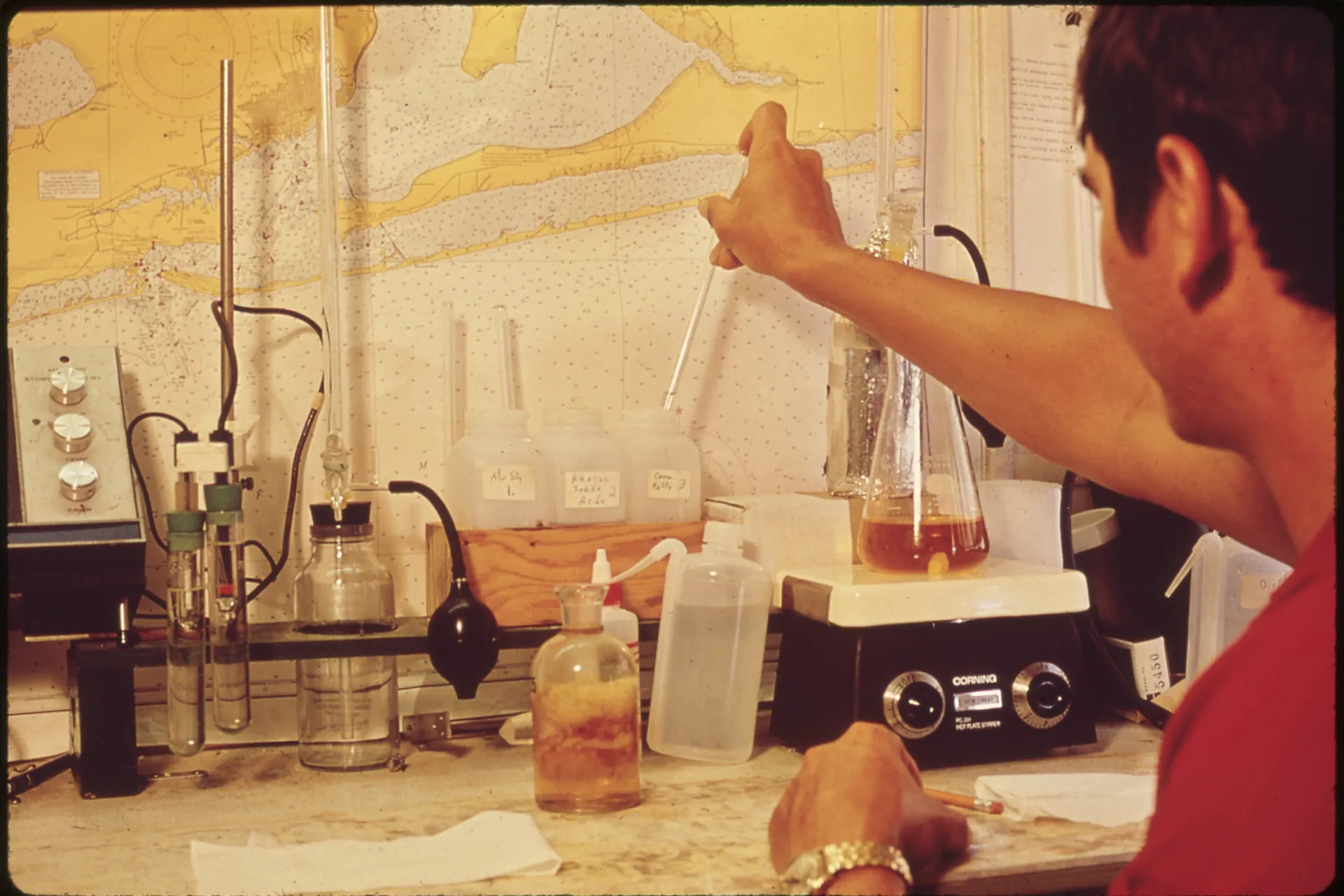
A technician analysing a sample in the laboratory.
William C. Shrout — Public Domain
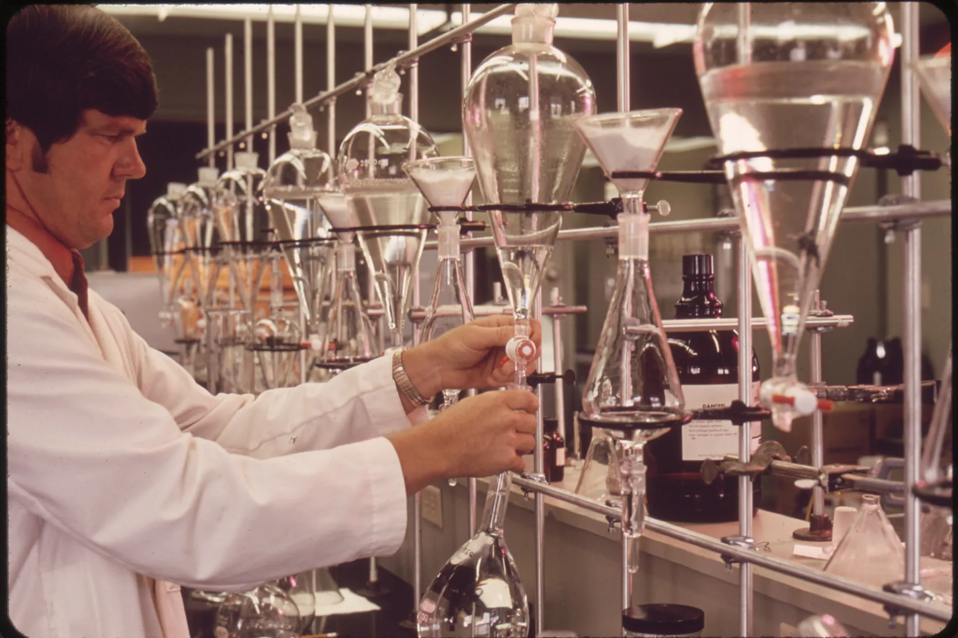
Glassware prepared for water quality analysis.
William C. Shrout — Public Domain
Fig. 05
Communities
The end of the job is a tap that works. Storage, reticulation and handover are planned around how a community actually draws water.
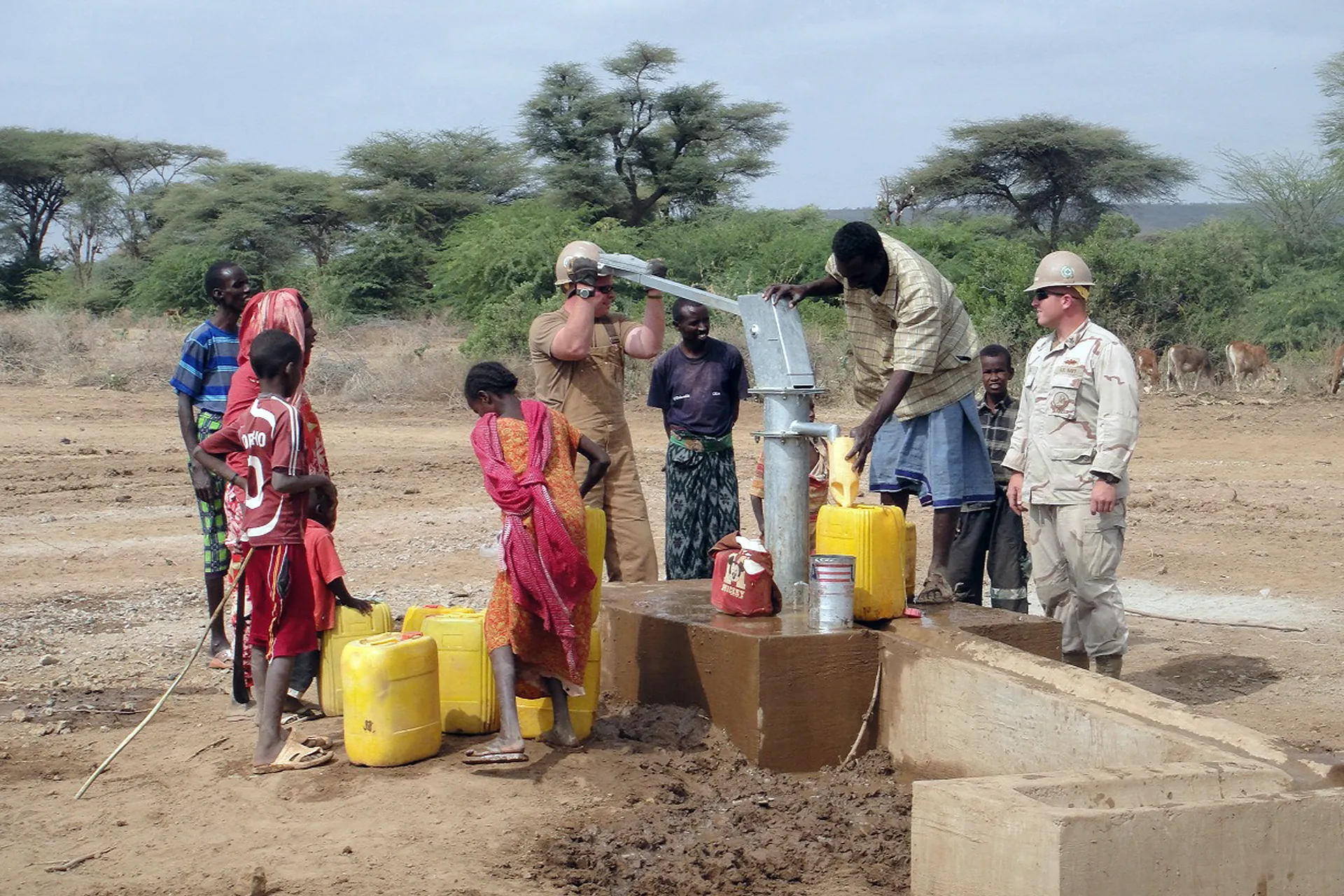
A community water point handed over and in daily use.
U.S. Navy — Public Domain
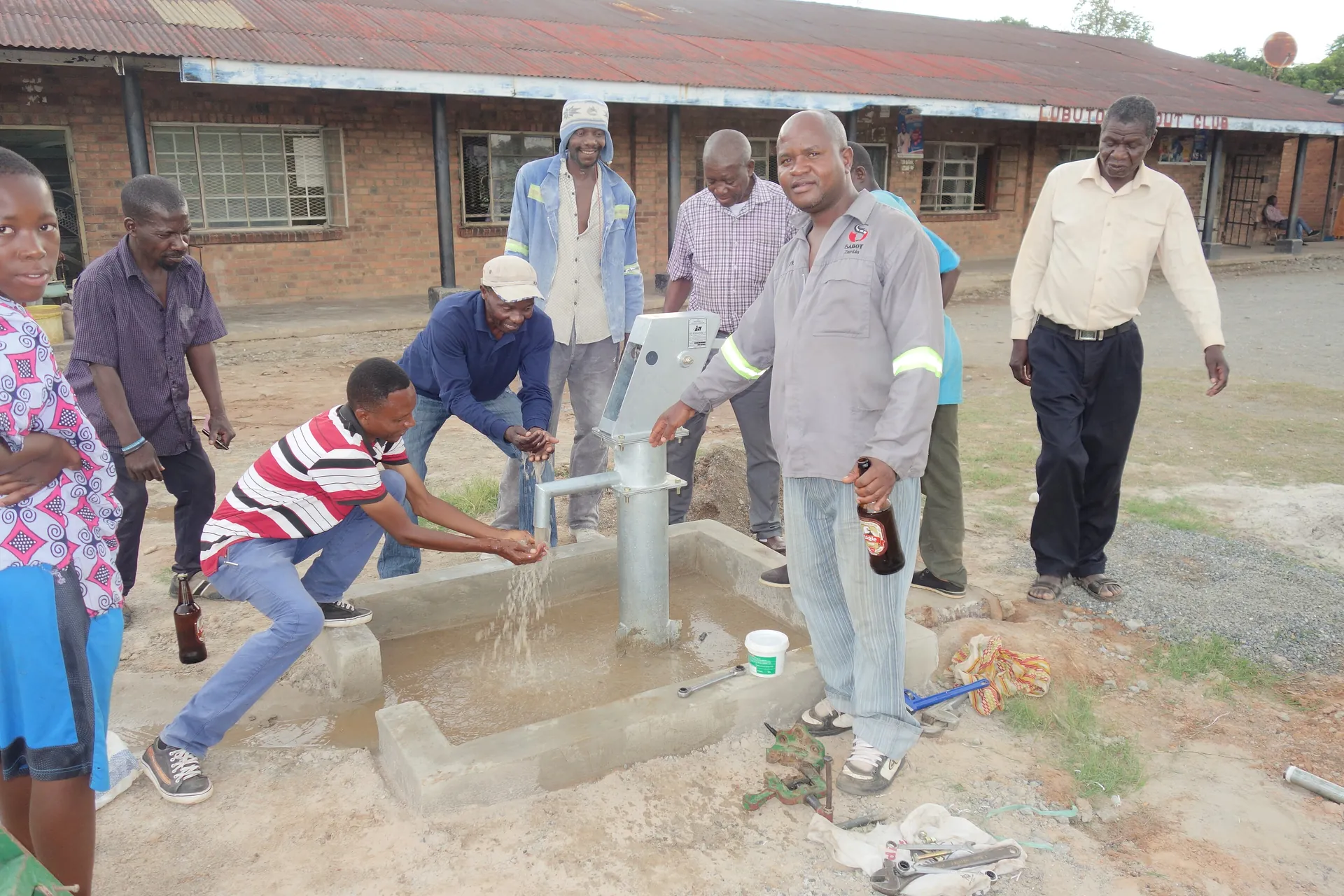
A borehole tap delivering water at the point of use.
Gizvula27 — CC BY-SA 4.0
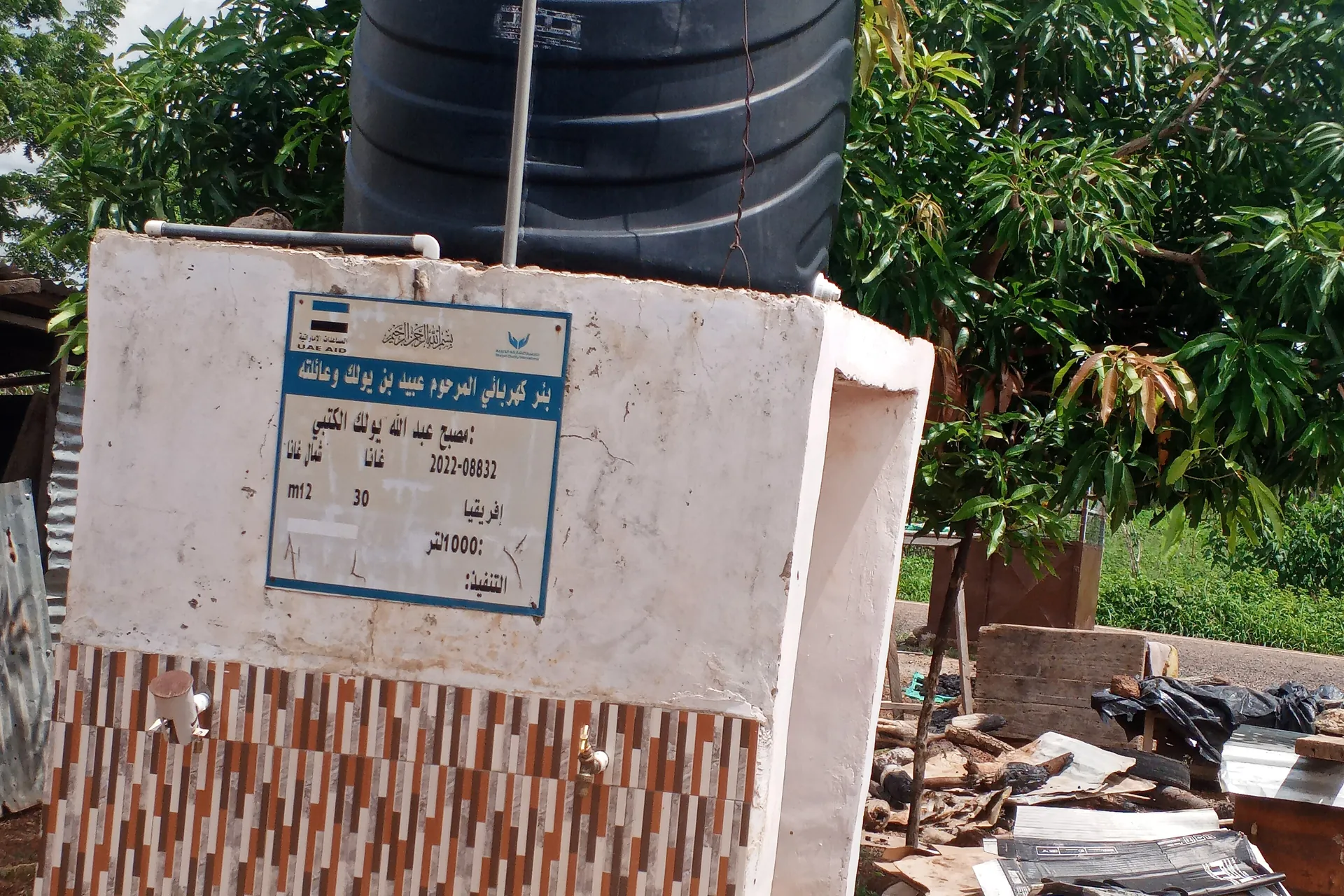
An elevated storage tank buffering a community well against daily draw.
Nimatu15 — CC BY-SA 4.0
Image credits
Photography credits.
The photographs on this page are published under open licences and credited to their authors.
- Nicole Fenton, USGS — Public Domain drilling-site
- U.S. Navy — Public Domain drilling-rig
- U.S. Air Force — Public Domain rig-logistics
- U.S. Air Force — Public Domain site-survey
- Oxfam East Africa — CC BY 2.0 hero-drilling
- Prabuddha Raj — CC BY-SA 4.0 solar-system
- USDA — Public Domain solar-array
- Nzili — CC BY-SA 4.0 solar-borehole
- Nimatu15 — CC BY-SA 4.0 water-tanks
- USDA — Public Domain irrigation-pivot
- Vraj Acharya, WELL Labs — CC BY-SA 4.0 drip-irrigation
- William C. Shrout — Public Domain lab-testing
- William C. Shrout — Public Domain lab-glassware
- U.S. Navy — Public Domain community-waterpoint
- Gizvula27 — CC BY-SA 4.0 water-tap
- Nimatu15 — CC BY-SA 4.0 storage-tank
Start your project
Ready for dependable water on your site?
Tell us what you need and our hydrogeological team will respond with a plan, a price and a timeline — usually within one working day.
No obligation. Your details stay confidential.